https://www.miamiflightacademy.com//wp-content/uploads/2014/11/MiamiFlightAcademy.png
0
0
Miami Flight Academy
https://www.miamiflightacademy.com//wp-content/uploads/2014/11/MiamiFlightAcademy.png
Miami Flight Academy2018-05-08 15:20:422018-05-08 15:20:42The recommended entry position to an airport traffic pattern is
https://www.miamiflightacademy.com//wp-content/uploads/2014/11/MiamiFlightAcademy.png
0
0
Miami Flight Academy
https://www.miamiflightacademy.com//wp-content/uploads/2014/11/MiamiFlightAcademy.png
Miami Flight Academy2018-05-08 15:18:452018-05-08 15:18:45What is the purpose of the No Entry sign?
https://www.miamiflightacademy.com//wp-content/uploads/2014/11/MiamiFlightAcademy.png
0
0
Miami Flight Academy
https://www.miamiflightacademy.com//wp-content/uploads/2014/11/MiamiFlightAcademy.png
Miami Flight Academy2018-05-08 14:49:522018-05-09 18:50:04(Refer to figure 22.) Which public use airports depicted are indicated as having fuel and a rotating beacon?
https://www.miamiflightacademy.com//wp-content/uploads/2014/11/MiamiFlightAcademy.png
0
0
Miami Flight Academy
https://www.miamiflightacademy.com//wp-content/uploads/2014/11/MiamiFlightAcademy.png
Miami Flight Academy2018-05-08 14:47:402018-05-08 14:47:40(Refer to figure 51.) The traffic patterns indicated in the segmented circle have been arranged to avoid flights over an area to the
https://www.miamiflightacademy.com//wp-content/uploads/2014/11/MiamiFlightAcademy.png
0
0
Miami Flight Academy
https://www.miamiflightacademy.com//wp-content/uploads/2014/11/MiamiFlightAcademy.png
Miami Flight Academy2018-05-08 14:44:592018-05-08 14:45:00(Refer to figure 66.) Which airport marking is a runway safety area/obstacle free zone boundary?
Scroll to top


 Citation M2 – flight from JFK to FXE06/11/2015 - 8:12 PM
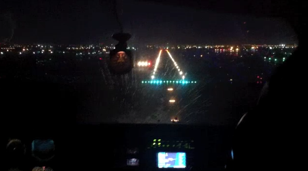 Night VFR – Miami26/10/2014 - 4:25 PM
 Engine Failure on a Seneca – Full sequence24/10/2014 - 4:33 PM
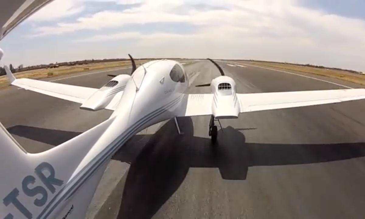 Multi Engine Commercial Training – Marrakech15/09/2014 - 4:06 PM
 Piper Meridian – From Caen to Pontoise05/02/2014 - 1:06 PM
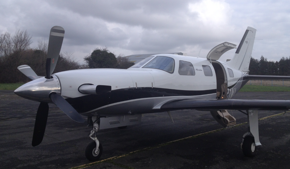 Piper Meridian – From Pontoise to Caen03/02/2014 - 3:43 PM
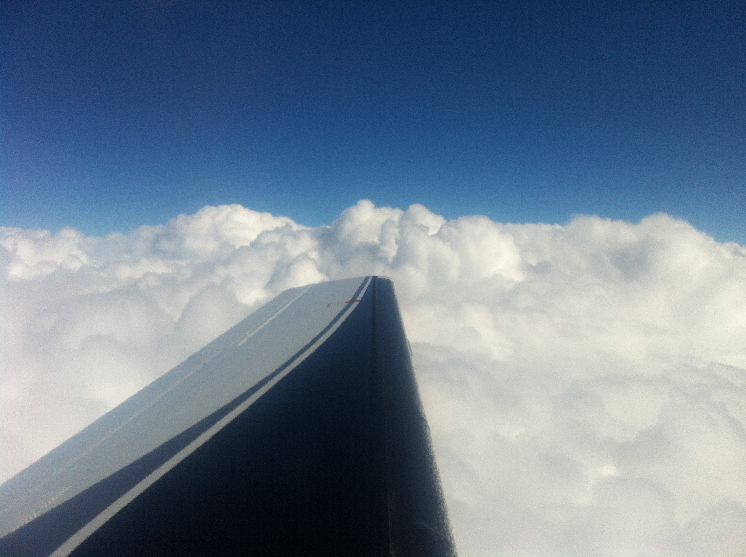 Piper Meridian – From Belgium to France30/12/2013 - 3:49 PM
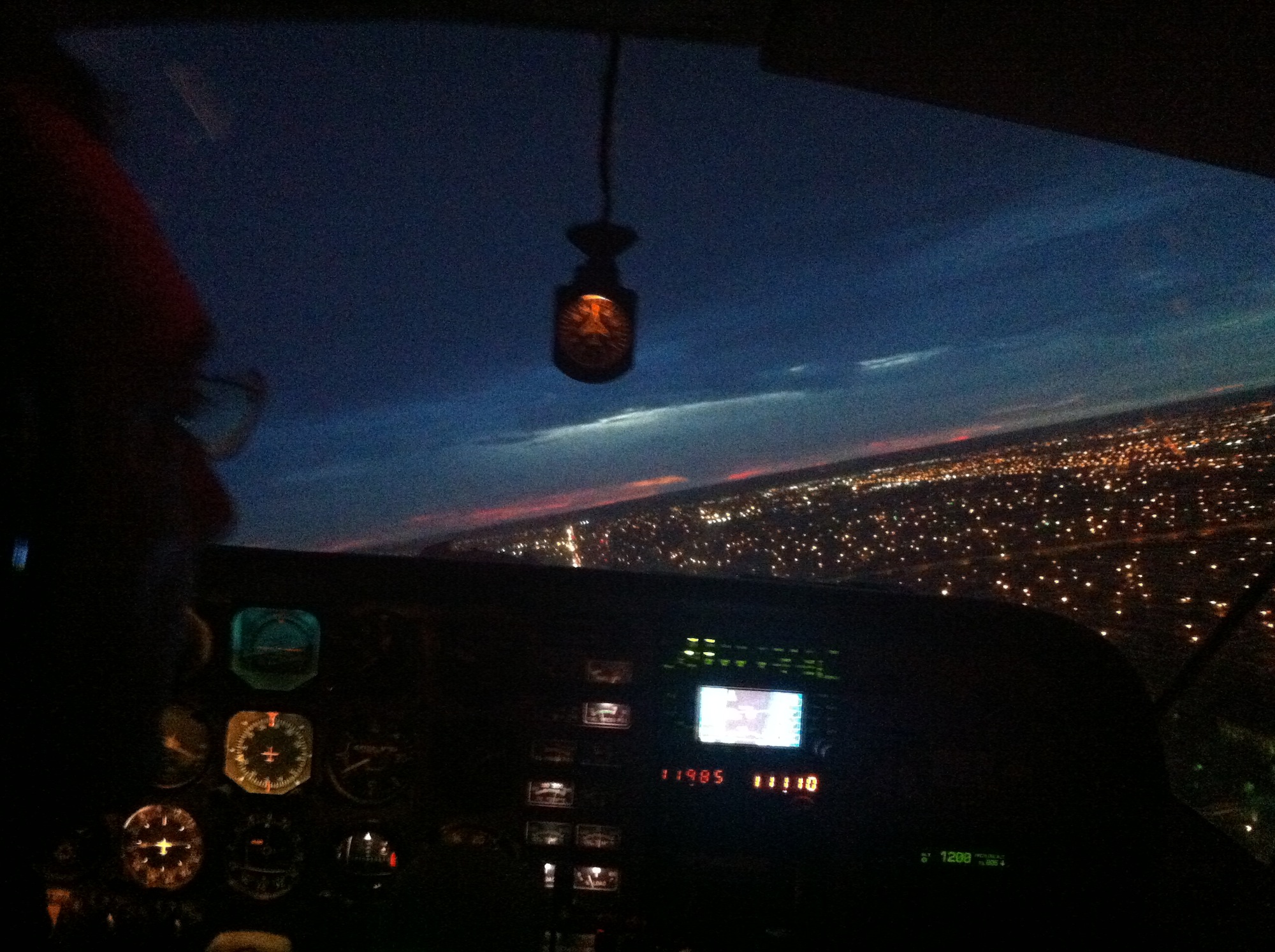 Night VFR – Miami25/10/2013 - 4:28 PM