https://www.miamiflightacademy.com//wp-content/uploads/2014/11/MiamiFlightAcademy.png
0
0
Miami Flight Academy
https://www.miamiflightacademy.com//wp-content/uploads/2014/11/MiamiFlightAcademy.png
Miami Flight Academy2018-05-14 17:52:012018-05-14 17:52:01(Refer to figure 23.) Determine the magnetic heading for a flight from St. Maries Airport (area 4) to Priest River Airport (area 1). The wind is from 340° at 10 knots and the true airspeed is 90 knots.
https://www.miamiflightacademy.com//wp-content/uploads/2014/11/MiamiFlightAcademy.png
0
0
Miami Flight Academy
https://www.miamiflightacademy.com//wp-content/uploads/2014/11/MiamiFlightAcademy.png
Miami Flight Academy2018-05-14 17:50:552018-05-14 17:50:55(Refer to figure 24.) What is the estimated time en route for a flight from Allendale County Airport (area 1) to Claxton-Evans County Airport (area 2)? The wind is from 100° at 18 knots and the true airspeed is 115 knots. Add 2 minutes for climb-out.
https://www.miamiflightacademy.com//wp-content/uploads/2014/11/MiamiFlightAcademy.png
0
0
Miami Flight Academy
https://www.miamiflightacademy.com//wp-content/uploads/2014/11/MiamiFlightAcademy.png
Miami Flight Academy2018-05-14 17:49:242018-05-14 17:49:24(Refer to figure 22.) Determine the magnetic heading for a flight from Mercer County Regional Airport (area 3) to Minot International (area 1). The wind is from 330° at 25 knots, the true airspeed is 100 knots, and the magnetic variation is 10° east.
https://www.miamiflightacademy.com//wp-content/uploads/2014/11/MiamiFlightAcademy.png
0
0
Miami Flight Academy
https://www.miamiflightacademy.com//wp-content/uploads/2014/11/MiamiFlightAcademy.png
Miami Flight Academy2018-05-14 17:48:022018-05-14 17:48:02(Refer to figure 23.) What is the estimated time en route for a flight from St. Maries Airport (area 4) to Priest River Airport (area l)? The wind is from 300° at 14 knots and the true airspeed is 90 knots. Add 3 minutes for climb out.
https://www.miamiflightacademy.com//wp-content/uploads/2014/11/MiamiFlightAcademy.png
0
0
Miami Flight Academy
https://www.miamiflightacademy.com//wp-content/uploads/2014/11/MiamiFlightAcademy.png
Miami Flight Academy2018-05-14 17:46:182018-05-14 17:46:18How far will an aircraft travel in 2-1/2 minutes with a groundspeed of 98 knots?
Scroll to top


 Citation M2 – flight from JFK to FXE06/11/2015 - 8:12 PM
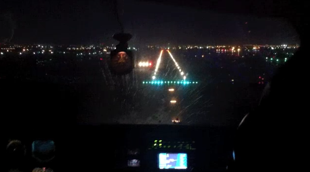 Night VFR – Miami26/10/2014 - 4:25 PM
 Engine Failure on a Seneca – Full sequence24/10/2014 - 4:33 PM
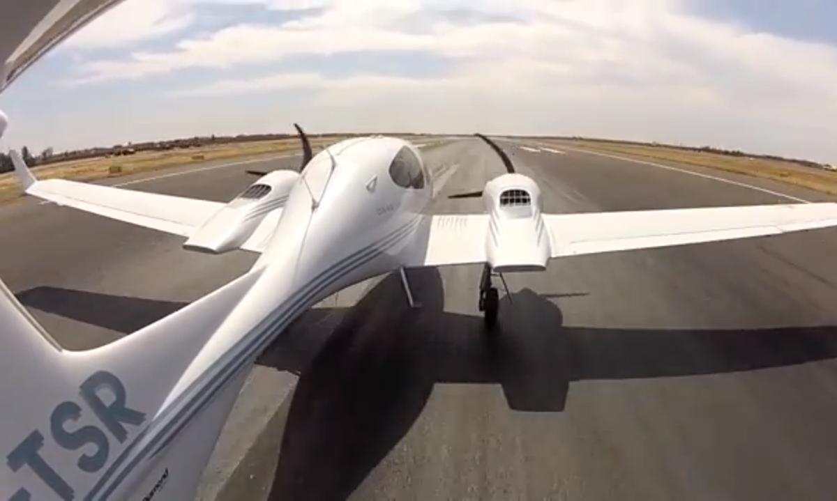 Multi Engine Commercial Training – Marrakech15/09/2014 - 4:06 PM
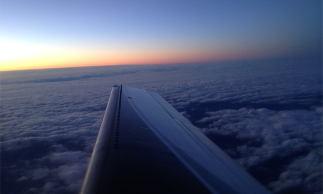 Piper Meridian – From Caen to Pontoise05/02/2014 - 1:06 PM
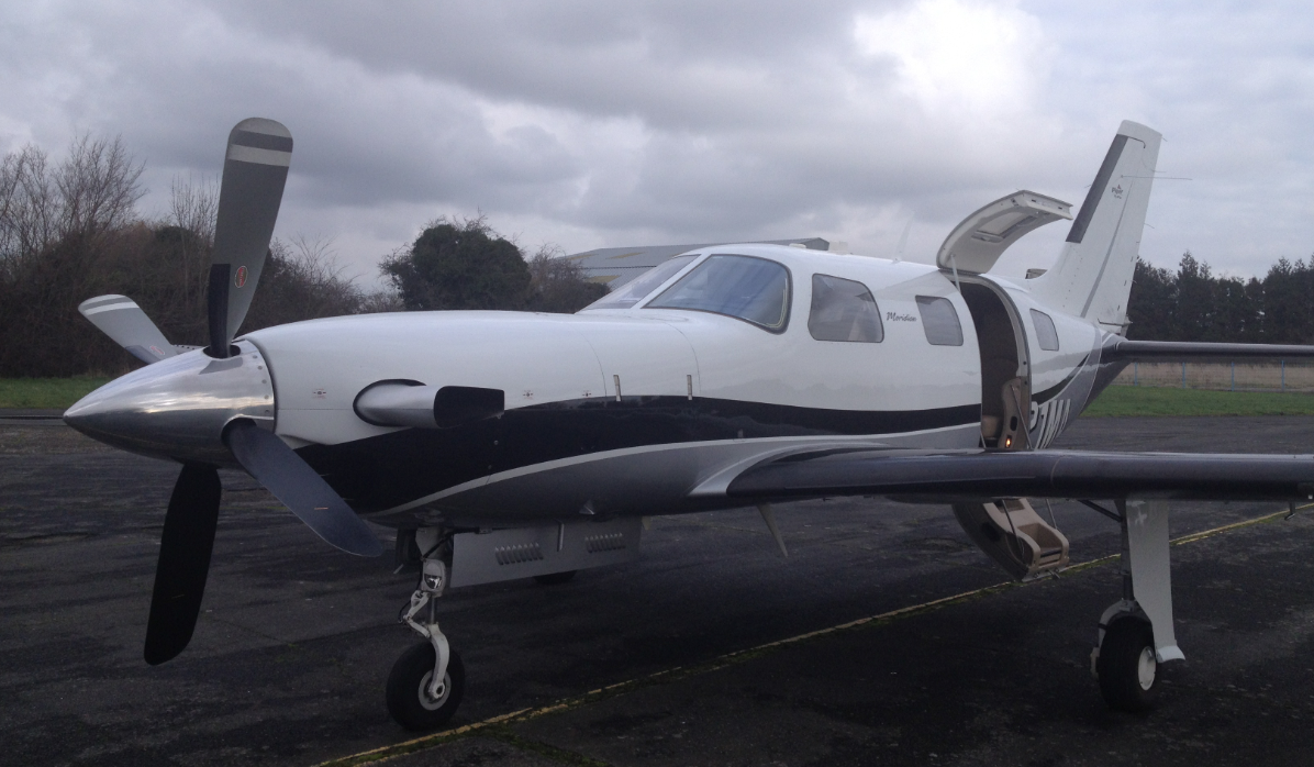 Piper Meridian – From Pontoise to Caen03/02/2014 - 3:43 PM
 Piper Meridian – From Belgium to France30/12/2013 - 3:49 PM
 Night VFR – Miami25/10/2013 - 4:28 PM